Services
FSC, Inc. is a full-service Oil & Gas Surveying, Land Development, and Engineering firm
We combine generations of expertise, state-of-the-art technology, a reliable, proactive approach, and our service-first attitude. FSC is determined to help you achieve the best possible results, when and where you need them. We pride ourselves on driving performance while delivering results to help build a foundation of success for you.
Surveying
Land surveying and mapping services are the cornerstones of our success. We use state-of-the-art technology and tools to ensure efficiency and accuracy resulting in one of the highest percentages of registered professional licensed surveyors in the business.
- Boundary surveys
- Engineering design surveys
- Ground-penetration radar utility location
And More…
- TSPS CAtegory 1A Land Title Surveys
- ALTA/ACSM Title Surveys
- Subdivision Platting & Layout
- As-Built Surveys
- Contruction Staking
- Horizontal & Vertical Control Surveys
- Route Surveys
- Hydrographic Surveying
- Precision Layout Services
- GPS Mapping & Locating
- Aerial Mapping Control
- Expert Witness Services
Geographic Information System
GIS combines the collection, storage, analysis, and visualization of datasets tied to a geographic location. We can provide attribute-enriched geospatial data with survey-grade accuracy when paired with our land-surveying services. From the basic digitization of old maps to the creation of interactive web-based spatial analytic tools, the team at FSC can make any of your mapping projects a reality.
- Data Collection
- Mining
- Oil and Gas
And More…
- Map digitization and data extraction
- GPS, point cloud, and CAD file conversion
- Geodatabase and schema definition
- ETL process automation
- Alignment sheet and plat creation
- Cartographic design of custom print and electronic maps
- Augmented reality and fly-through video production
- 3D topographic and viewshed modeling
- Service area delineation and route planning
- Web map and custom application development
Engineering
FSC, Inc. provides professional engineering services including commercial land development, transportation, utility, and infrastructure design. Our focus is to provide safe, cost-effective solutions using innovative design techniques and technology paired with the highest quality client service.
- Commercial and residential land development
- Transportation
- Utilities and infrastructure
And More…
- Commercial and Residential Land Development
- Due Diligence and Feasibility
- Site Planning
- Platting
- Permitting
- Utility and Infrastructure Design
- Utility Coordination
- Construction Administration
- Transportation
- Schematic Design
- Roadway Design
- Street Rehabilitation/ Roadway Widening
- Utility and Infrastructure Design
- Drainage Design
- Plans, Specifications and Estimates (PS&E)
- Signage and Pavement Markings
- Hike and Bike Trail Design
- ADA/TAS Compliance
- Utilities and Infrastructure
- Water/Wastewater Design
- Sewer Lift Station Design
- Utility Coordination
Oil & Gas
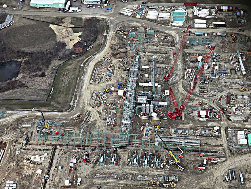
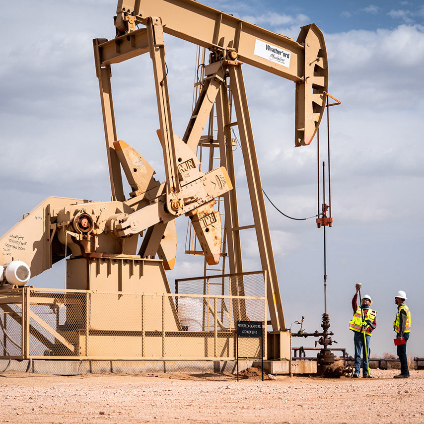
We’ve established a reputation for reliability, innovation, and results, allowing us to service some of Texas’ largest oil and gas companies and projects. Our network covers every major Texas oil and gas location across the state to ensure timely results that exceed your exacting specifications.
- Downstream
- Midstream
- Upstream
And More…
- Upstream
- Mineral Lease & Unit Surveys
- Well Location Staking
- Permit Plats
- Midstream
- Preliminary Pipeline Routes
- Landowner Exhibits
- Alignment Sheets
- Downstream
- Preliminary Site Surveys
- Construction Layout
- As-Built Surveys
Construction
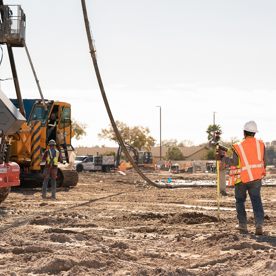
We provide a full range of construction services using the latest technology to assure accuracy for any size project.
- Commercial
- Deep foundation
- Plant/Facility
And More…
- Plant/Facility
- Horizontal and Vertical Control
- Precision Layout and Dimensional Control
- Coordinate Generation and Facility Mapping
- Column/Equipment Layout and QC
- Trenching/Piping Layout and QC
- Grading Layout and QC
- Client Specific As-Built Deliverables
- 3D Laster Scanning and Modeling Deliverables for Retrofit/As-Built Needs
- Deep Foundation
- Coordinate Generation and Piling Mapping
- Foundation/Piling Layout
- Foundation/Piling Final As-Built Generation and Submittal
- Plan Review and RFI Assistance
- Real-time QC and Tolerance Assurance
- Commercial
- Building/Foundation Layout
- Interior Infrastructure Layout/QC
- Grading Layout and QC
- High-Rise Build-Up
- Foundation Settlement Monitoring
- Structure Vertical Shortening Monitoring
- Building Title Monitoring
Geospatial
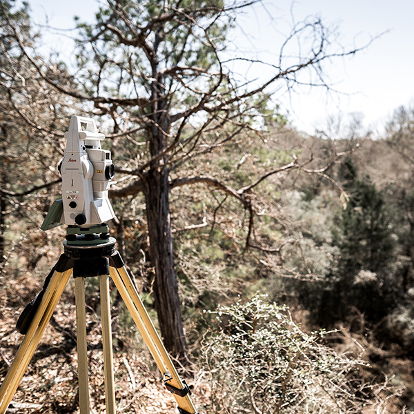
As one of the few surveying companies using high-definition survey (HDS) scanning equipment, we can go beyond traditional surveying methods to deliver a more precise model of your site. Utilizing Leica HDS scanning equipment, we can collect up to 1 million points per second. Civil engineers, plant designers, CAD professionals, architects, contractors, forensic investigators, archaeologists, and owners/operators reap the cost and added-value benefits that HDS provides.
- 3D elevation modeling
- HDS laser scanning
- Machine control dem creation
- Plant as-built and modeling
And More…
- Bridge & hideaway as-built BIM (Building Information Modeling)
- Topographic surveys
